In May of this year, the Institute of Hydraulic Engineering and Water Resources Management (IWW) at RWTH Aachen University commissioned a Cameroonian partner company, SOGEFI (Société de Géomatique et d’Expertise Foncière à l’International), to take aerial photographs of the first project region. This work was originally intended to be done locally by IWW staff, but this was not possible due to the COVID-19 pandemic and subsequent travel restrictions.
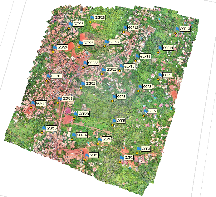
In the meantime, the subcontract has been successfully completed and we have received extensive aerial photographs from the first project area in SOA. These have already been photogrammetrically processed into a georeferenced orthophoto and a three-dimensional point cloud, which will later form the basis for a digital terrain model.
In addition to photogrammetric analysis, the high-resolution images are also useful for locating, counting and cataloging wells in the project area, for example.
The completely digital communication and contracting with SOGEFI has worked excellently, so that we do not see any problems for further project areas, should we still not be able to travel to Cameroon ourselves.
In the project, the IWW is responsible for the preparation of digital terrain models of the project areas in Cameroon, the calculation of hydraulic runoff simulations and the derivation of flood hazard and risk maps.