

© FiW e. V.
In the project, the Institute of Hydraulic Engineering and Water Resources Management (IWW) of RWTH Aachen University is responsible for the preparation of digital terrain models of the project areas in Cameroon, the calculation of hydraulic runoff simulations and the derivation of flood hazard and risk maps.
However, due to the COVID-19 pandemic and subsequent travel restrictions, the project had to be restructured since travel to Cameroon was no longer possible. Thus, the IWW staff managed the project largely from home, which did not impact the already digital communication with the project partners from Cameroon.
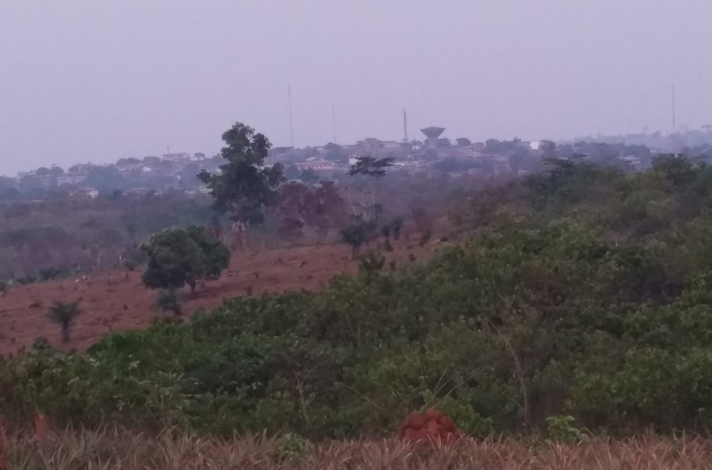
A two-week trip to Cameroon was originally planned to take aerial photos of the project regions using commercially available drones. Due to the new restrictions, this trip had to be cancelled and the corresponding funds were repurposed in consultation with the project management. With the repurposed funds, a local Cameroonian company was commissioned in April 2021 to take the drone images for us.
In this subcontract, the company SOGEFI (Société de Géomatique et d’Expertise Foncière à l’International) will take aerial photographs of the first project area in SOA as well as precisely measured ground control points. Based on this data, the IWW can then proceed as planned and first process the photos into a digital terrain model before calculating the hydraulic runoff simulation in different heavy rainfall scenarios. The data exchange is facilitated via the project’s own server at IWW and communication with SOGEFI has so far proved to be very reliable and productive.
This project therefore vividly demonstrates that even during a global pandemic, project work can continue almost unhindered, if one is only open to new methods and brings along some creativity.