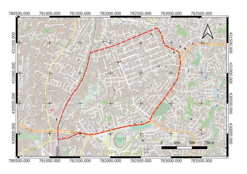
The Institute of Hydraulic Engineering and Water Resources Management (IWW) of RWTH Aachen University is responsible in the project for the creation of digital terrain models of the project areas in Cameroon, the calculation of hydraulic runoff simulations and the subsequent derivation of flood hazard and risk maps.
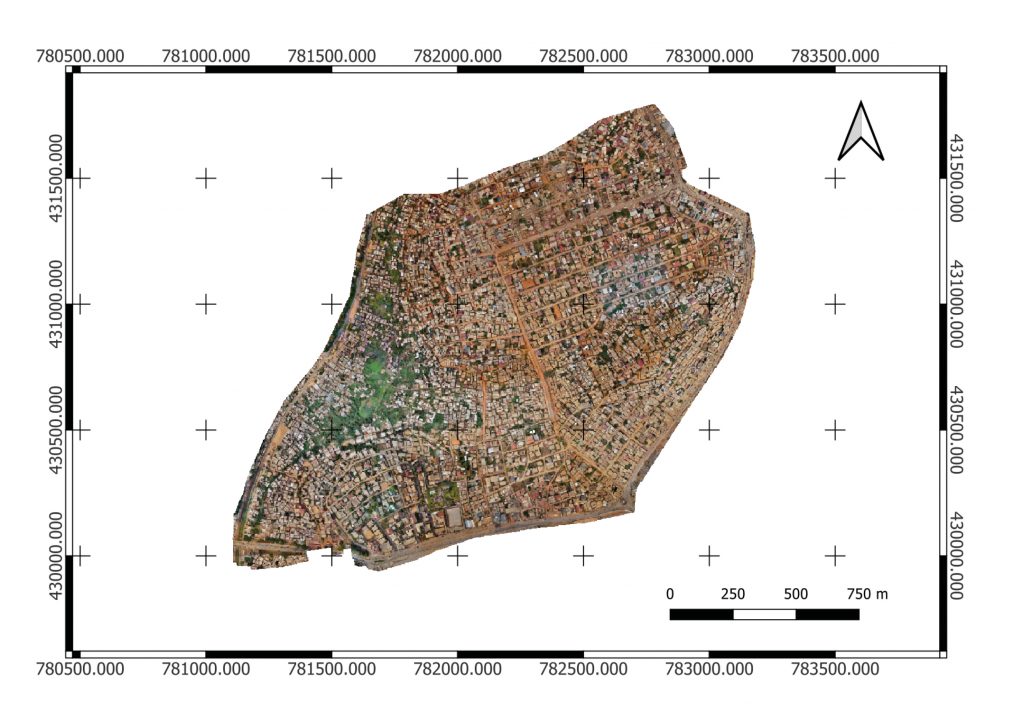
Already in 2021, it was possible to successfully cooperate with the company SOGEFI (Société de Géomatique et d’Expertise Foncière à l’International) for the acquisition of aerial photographs within the framework of a subcontract. Therefore, in December 2022, SOGEFI was also commissioned to carry out an aerial survey of the third pilot area, Ngousso in Yaoundé.
The aerial survey took place in January and February 2023 after the necessary flight permits were obtained. The results are high-resolution aerial photographs and a digital terrain model, which are used, among other things, as input variables in the hydraulic runoff simulation.